ICAO
KTSP
Tehachapi Municipal Airport
Non-ToweredPublic
Current Conditions
CategoryVFR
Wind
14
300° / 14 kt
Vis
10
statute miles
Temp / DP
79/34
°F · 26/1 °C
Altimeter
29.90
inHg
"METAR KTSP 230015Z AUTO 30014KT 280V340 10SM CLR 26/01 A2990 RMK AO2"
At a glance
Coordinates35.135°, -118.439°
Runways1 · 4,031 ft
Sunrise / Sunset12:48 / 02:59
Based aircraft
—
No data reported
Operations / yr
—
Data not reported
Logged in Hangar
1
Recent landings · 1 pilot
Popular departures
—
No routes logged yet
Location · 35.1350°, -118.4390°
Runways
1 runway · 4,031 ft11 / 29
ASP · Lighted
Length4,031 ft
Width75 ft
Wind component · RWY 11
Headwind0 kt (TW)
Crosswind1 kt R
⚠︎ Tailwind on RWY 11
Fuel & services
100LL
$6.93
Self-service · just now
Jet A
—
Not reported
Landing fee
None
No customs
Transient hangar
No
Availability varies
Transient tiedown
Yes
First-come basis
Ownership
Public
Attendance varies
Services on field
Flight InstructionAircraft RentalAirframe (Major)Powerplant (Major)
Remarks
BeaconSunset to Sunrise
LightingSEE RMK
Sunrise (UTC)12:48Z
Sunset (UTC)02:59Z
Recent flights to KTSP
1 landing from Hangar pilotsPilot
Route
Aircraft
Distance
Duration
When

@bluejaypilot
KTSP→KTSP
C150
—
1.5 h
27 mo ago
Nearby METARs
6 within 50nmNearby TAFs
4 within 50nmNearby webcams
Within 10 miles of KTSPThings to do
On & near KTSP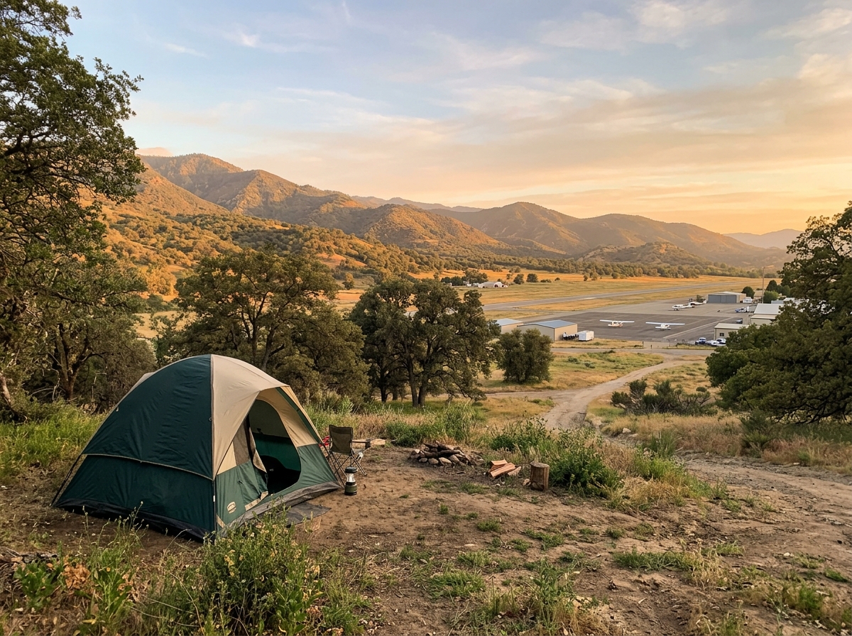
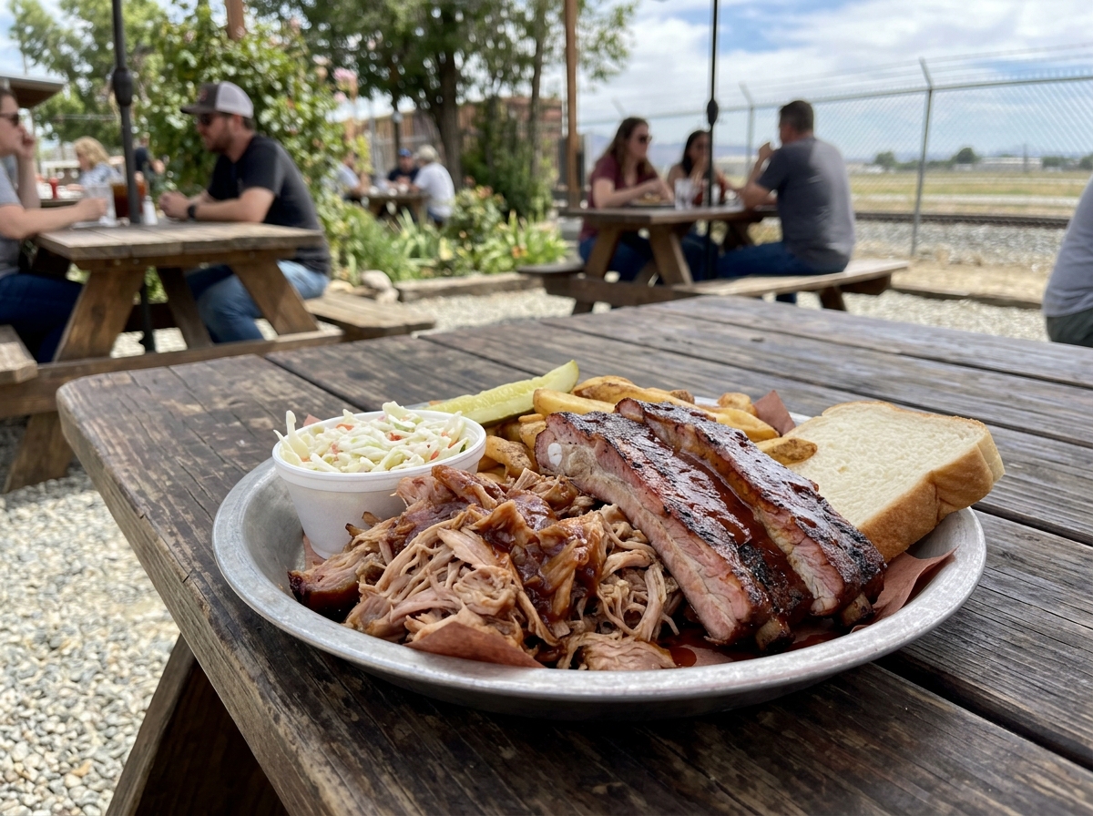 On airport
Pilot reviews
Coming soon—
Pilot reviews coming soon
No reviews yet for KTSP
Been to Tehachapi Municipal Airport? Reviews open to Hangar pilots soon — rate the approach, ramp, fuel price, and what's on the field.
Get notified in the appHangar for iOS
Track every landing at KTSP. Share the flight.
Free on the App Store · 70,000+ airports · Live METARs · Flight tracks